
Wakefield ZIP Code Evidence
Wakefield’s ordinary municipal and postal identity is 01880. Town Hall, Beebe Library, Wakefield Police, state contact listings, and ordinary local official addresses use Wakefield, MA 01880. That is strong town-level orientation, but it is still not a substitute for a USPS result for a particular door. Postal delivery is assigned to an address, while the records used for property and local history have their own geographic keys.
| ZIP code | Evidence in the research | Postal reading | Safe use in a search |
|---|---|---|---|
| 01880 | Wakefield postal identity on Town and local official addresses | Primary Wakefield orientation | Verify a specific street number with USPS |
| 01867 | Reading-area ZIP appearing in a Census ZCTA overlap | Statistical overlap, not an address claim | Do not label a Wakefield door with it without USPS verification |
| 01940 | Lynnfield-area ZIP appearing in a Census ZCTA overlap | Statistical overlap, not an address claim | Do not label a Wakefield door with it without USPS verification |
No official USPS or municipal map was found that publishes complete Wakefield ZIP boundaries, a ZIP+4 list, a PO-box-only or unique ZIP, a population-by-ZIP table, or a historical ZIP split. The table therefore distinguishes confirmed evidence from Census overlap instead of filling gaps with a boundary claim.
Verify a Wakefield ZIP Code
The USPS ZIP Code Lookup is the verified route for a single delivery address. Enter the exact street number and street name, then retain the resulting ZIP with the original address string. Do not infer the ZIP from the municipality name alone. This prevents a property location, a mailing line, or a Census label from being mistaken for a postal determination.
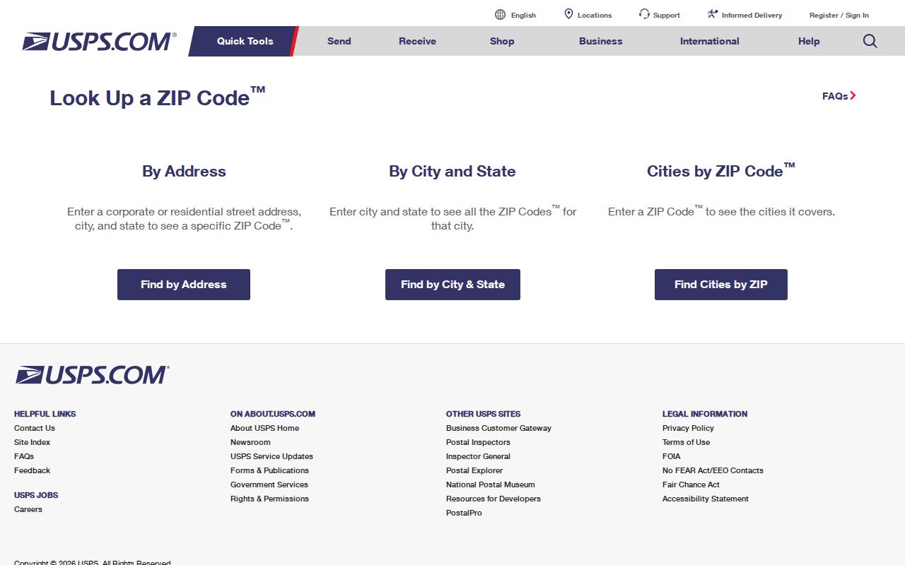
The USPS screen is the delivery-point check in the ZIP process. The dynamic form was not available to text-only inspection, so the research does not claim a captured search result or a published Wakefield boundary list.
- Enter the complete address in the USPS lookup and save the exact return as the postal result.
- Use 01880 only as Wakefield’s ordinary town-level orientation, not as proof for every address.
- For a property question, search the confirmed street or parcel in the Town’s assessor system rather than expecting a ZIP-wide property result.
- For polling-place context, use the state tool with its documented city/town or ZIP route, then obtain any voter record from Wakefield officials.
- For an old address, retain the street, cross-street, legal description, and historical town name before adding a modern ZIP label.
Wakefield ZIP Code and Census ZCTAs
The Census profile result shows the Wakefield CDP intersecting ZCTAs 01867, 01880, and 01940. A ZCTA is a Census statistical approximation, not a USPS delivery boundary. It can be useful for broad population context, yet it cannot enumerate Wakefield residents, identify a person’s mailing ZIP, or establish that a street lies in a neighboring post office’s delivery area.
Boundary check. A Census overlap is not an alternate ZIP assignment for a Wakefield address. Use USPS for delivery, and use the municipal or county custodian for its own record boundary.
- ZIP code
- A USPS delivery code attached to a particular mailing address, not automatically to a municipal line.
- ZIP+4
- An added delivery detail beyond the five-digit ZIP. No public Wakefield ZIP+4 table was located in the research.
- PO-box ZIP
- A code used for post-office boxes. No Wakefield PO-box-only ZIP was verified in the research.
- Carrier route
- A mail-delivery grouping. The research did not locate a public Wakefield carrier-route list.
One municipality can be served by more than one post office, and a post office can cross a town line. That is why a postal directory needs the exact-address check before it is used as an address label.
Wakefield ZIP Code Portal Fields
Only one local-government-related tool in the research has a documented ZIP input: the Massachusetts polling-place tool. It accepts a ZIP as an alternative route to city or town selection after required address number, street name, and street suffix. Its result is a precinct and polling-place response, not a person list, ownership result, or census of homes within a ZIP.
| Field or tool | Input type | ZIP role | What the result can establish |
|---|---|---|---|
| Address number | Required numeric text | Used with polling lookup | Part of a polling-place query |
| Street name and suffix | Required text and dropdown | Used with polling lookup | Precinct and polling-place context |
| City/Town | Dropdown route | Alternative to ZIP | Wakefield polling-place context where supported |
| ZIP | Numeric-text alternative | Alternative route in the state tool | Does not establish registration or a resident list |
| Municipal voter-file request | Written request | Not a portal filter | Allowed local voter fields, subject to withholding rules |
The Where Do I Vote form is therefore useful after USPS verification when the question is precinct location. It is not a Wakefield postal directory of people.
Wakefield ZIP Code Property Keys
Patriot Properties does not have a documented ZIP-wide search mode. Its available modes are Street Name, Owner Name, and Parcel ID. The Water Street result is a practical whole-street substitute, with a property location, owner, sale data, and book/page fields. MapGeo supplies parcel geography, but the research did not confirm a ZIP filter there either. For a complete 01880 parcel effort, use the published assessor street list, street-by-street searches, or a records request, then verify each delivery address independently.
The Town’s Property Tax and Assessments page is the source page for Patriot Properties, assessor maps, and MapGeo.
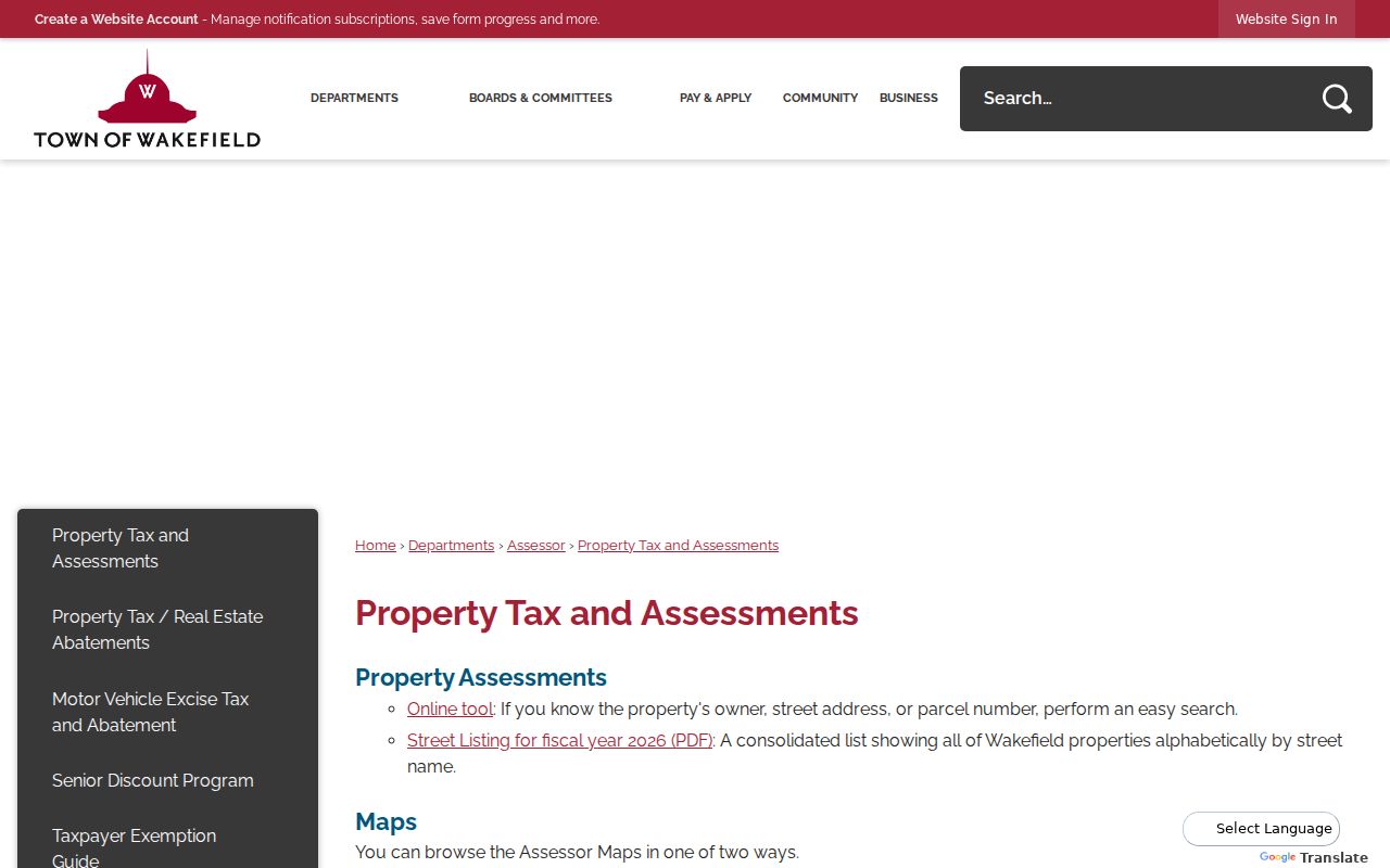
A parcel’s Location field is its situs, while an owner or care-of line can be a different mailing address. A recorded deed uses legal description, parties, book/page, plans, and municipality. Keep those keys in separate columns instead of treating the ZIP as a universal property identifier.
MassGIS and Wakefield ZIP Code Maps
MassGIS confirms that Wakefield was included in a July 2025 municipal property-tax parcel release. That makes the statewide dataset a useful parcel-geography cross-check. It does not convert a parcel map into a postal-boundary map. The local assessor and MapGeo remain the appropriate sources for current property context, while USPS answers the delivery ZIP question.
The MassGIS property-tax parcel information describes the statewide resource and its municipal release context.
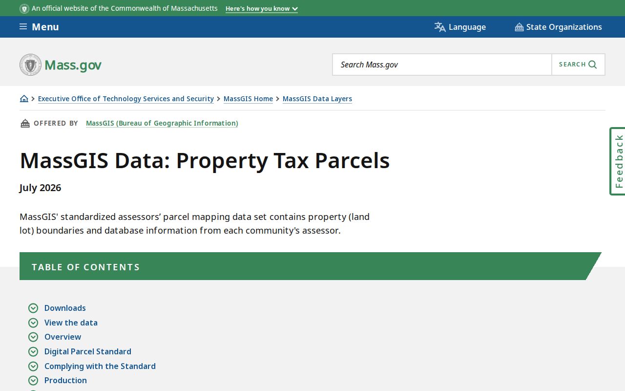
This comparison prevents a common map mistake: a parcel boundary can be authoritative for land records without marking the USPS area that delivers mail to the address.
Historical Wakefield ZIP Code Searches
Old Wakefield directories and street lists often omit ZIP codes or use a town or post-office name instead. Do not force a modern delivery code onto an older record. Search the street, cross-street, parcel, legal description, and any historical place name first. For records before the July 4, 1868 name change, South Reading may be the more productive search term; earlier research can also reach Redding and Reading or North Reading repositories.
No official Wakefield readdressing year, ZIP realignment, or E911 assigning-office page was found. When a modern number does not match a directory or deed, ask the Town for addressing or assessment history and use Sanborn maps, neighboring parcels, and legal descriptions as continuity evidence.
Wakefield ZIP Code Address Keys
The same location can appear under several valid address keys. Patriot’s Location field is the property situs, meaning the physical parcel address. Its Owner field may include a mailing or care-of line elsewhere. A deed is organized around grantor and grantee names, legal description, book/page, plan, and municipality. A directory uses an occupant and street address. A voter record uses registration residence and can carry a separate mailing address. USPS assigns the delivery address and ZIP. None of these fields should replace the others in a Wakefield postal search.
Keep a small record log with the exact USPS address, the assessor situs, parcel ID, owner or mailing field, legal description, and source date. This is especially important where an owner lives away from the parcel, a trust appears on the tax record, or an older source uses a corner notation. It also protects against an easy false match: a postal ZIP can be correct for mail while a parcel, directory, or deed points to a different question entirely.
For a specific property, the difference is practical. USPS confirms where mail is delivered. Patriot supplies assessment data for the parcel. MapGeo puts the parcel in local context. Middlesex South recorded land supplies the legal transfer history. A municipal voter or annual street-list record, where public and responsive, is a dated local list rather than a ZIP-wide resident list.
Wakefield ZIP Code Fallbacks
When a ZIP query does not answer the record question, move to the custodian that owns the next key. Wakefield’s published assessor street list is an offline fallback when the interactive assessment portal is unavailable, but it remains an assessment list rather than a household roster. Street-by-street Patriot searches are the documented public substitute for a ZIP-wide parcel mode. MapGeo can help compare parcel geography but is not documented as a postal filter.
For resident evidence, distinguish the annual street list from the municipal voter file. The annual list publishes names and addresses of residents age 17 and older from returned census forms. A municipal voter list is requested through Wakefield election officials and can have separate public and withheld fields. If a Town-held address record is not online, the Wakefield Records Access Officer request form routes a focused request through the proper office. Specify the address, date range, and document type rather than asking for an unverified ZIP roster.
This is the useful boundary of a ZIP code directory: it tells the reader when a postal check should hand off to a parcel, municipal, registry, or historical source. It does not turn a delivery code into a complete public directory of every address or person in the area.
Limits of a Wakefield ZIP Code Directory
A ZIP code directory can guide an exact-address check and explain which local record system to use next. It cannot create a public list of every person in a postal area. The research found no public utility-customer list, no ZIP-wide property filter, no public carrier-route roster, and no source for protected voter addresses. A polling-place ZIP input returns precinct context only.
Once USPS confirms an address and the task becomes a street-level property question, the Wakefield street records route supplies the parcel, deed, map, and address-file workflow. Keep the postal result separate from the ownership and resident evidence.